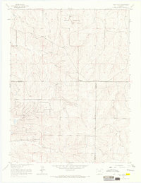
1966 Map of Piney Creek
USGS Topo · Published 1967About this map
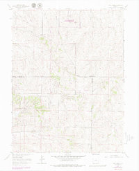
Hutchinson sits within a landscape defined by its high-country watercourses and early infrastructure in this mid-1960s study of the area where Arapahoe, Douglas, and Elbert counties meet. The northern portion is dominated by a Military Reservation, featuring an Observation Tower and Radio Tower, while the historic Smoky Hill Road cuts across the terrain as a reminder of early transit corridors. Significant drainage patterns are established by Piney Creek, Sulphur Gulch, and Murphy Creek, which carve through the topography before reaching more developed valley floors.
Find a feature on this map
23 named features on this map. Tap any name to fly to it.
Don’t see what you’re looking for? This feature index may not catch every label — zoom into the map to look around manually.
Map Details
Editions of this 1966 Piney Creek Map
6 editions found
Other maps of this area

1890 · East Denver
USGS Topo · 1:125,000

1894 · Castle Rock
USGS Topo · 1:125,000

1913 · Castle Rock
USGS Topo · 1:125,000

1935 · East Denver Nos. 3 and 4
USGS Topo · 1:48,000

1939 · Coal Creek
USGS Topo · 1:24,000

1939 · Elizabeth
USGS Topo · 1:62,500

1940 · Piney Creek
USGS Topo · 1:24,000

1940 · Castle Rock
USGS Topo · 1:62,500

1941 · Fitzsimons
USGS Topo · 1:31,680

1942 · Parker
USGS Topo · 1:31,680