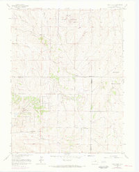
1966 Map of Piney Creek
USGS Topo · Published 1973About this map
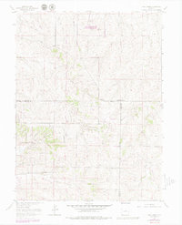
Military Reservation lands dominate the high plains landscape of this region during the mid-1960s, a period where the traditional cattle-country fence lines began to intersect with early aeronautical and communication infrastructure. The drainage systems of West Toll Gate Creek and East Toll Gate Creek carve through the northern terrain, while Piney Creek and Sulphur Gulch define the southern reaches. This era reflects a transition from rural ranching toward more modern utility, evidenced by the presence of a Radio Tower, a Radio Facility, and a remote Landing Strip situated between Sulphur Gulch and Coal Creek. Historical thoroughfares like Smoky Hill Road and Airline Road provide the primary transit grid, passing near a solitary Cem and several scattered Gravel Pit operations that hint at the area's development and geological utility.
Find a feature on this map
24 named features on this map. Tap any name to fly to it.
Don’t see what you’re looking for? This feature index may not catch every label — zoom into the map to look around manually.
Map Details
Editions of this 1966 Piney Creek Map
6 editions found
Other maps of this area

1890 · East Denver
USGS Topo · 1:125,000

1894 · Castle Rock
USGS Topo · 1:125,000

1913 · Castle Rock
USGS Topo · 1:125,000

1935 · East Denver Nos. 3 and 4
USGS Topo · 1:48,000

1939 · Coal Creek
USGS Topo · 1:24,000

1939 · Elizabeth
USGS Topo · 1:62,500

1940 · Piney Creek
USGS Topo · 1:24,000

1940 · Castle Rock
USGS Topo · 1:62,500

1941 · Fitzsimons
USGS Topo · 1:31,680

1942 · Parker
USGS Topo · 1:31,680