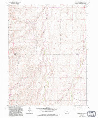
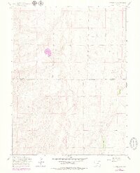
1961 Map of Strasburg SW
USGS Topo · Published 1994About this map
Kiowa Creek and Wolf Creek carve a network of drainage patterns across the High Plains of eastern Colorado, defining the topography of this rural landscape. The map captures a moment of modern transition as suburban residential development begins to appear in the southwestern corner at Sun Country Meadows, accessed by Sun Country Drive. This growth sits alongside established resource extraction, evidenced by an extensive Oil Field, numerous scattered Oil Wells, and several Gravel Pit sites. The boundary between Arapahoe Co and Elbert Co runs horizontally across the center of the survey, illustrating how political lines bisect the natural flow of the creek valleys. Isolated Corral sites and individual Drill Hole locations point to the mixed agricultural and industrial use of the land during the mid-to-late 20th century.
Find a feature on this map
12 named features on this map. Tap any name to fly to it.
Don’t see what you’re looking for? This feature index may not catch every label — zoom into the map to look around manually.
Map Details
Editions of this 1961 Strasburg SW Map
5 editions found
Other maps of this area

1890 · East Denver
USGS Topo · 1:125,000

1894 · Castle Rock
USGS Topo · 1:125,000

1913 · Castle Rock
USGS Topo · 1:125,000

1939 · Elizabeth
USGS Topo · 1:62,500

1945 · Elizabeth
USGS Topo · 1:62,500

1953 · Denver
USGS Topo · 1:250,000

1954 · Watkins
USGS Topo · 1:24,000

1955 · Strasburg NW
USGS Topo · 1:24,000

1955 · Watkins SE
USGS Topo · 1:24,000

1955 · Strasburg
USGS Topo · 1:24,000