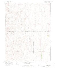
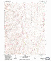
1961 Map of Strasburg SW
USGS Topo · Published 1972About this map
The Lowry Air Force Base Bombing Range dominates the northwestern portion of this landscape, reflecting the mid-century military footprint in the high plains of eastern Colorado. This transition zone between Arapahoe and Elbert counties is defined by the ephemeral drainage patterns of Kiowa Creek and Wolf Creek, which carve winding paths through the undulating terrain. While largely open land in the late 1950s, a lone Gravel Pit indicates early local resource extraction. The map captures a moment when the rural character of the area was heavily influenced by federal defense operations, providing a clear record of the large-scale land use required for aerial training missions during the Cold War era.
Find a feature on this map
5 named features on this map. Tap any name to fly to it.
Don’t see what you’re looking for? This feature index may not catch every label — zoom into the map to look around manually.
Map Details
Editions of this 1961 Strasburg SW Map
5 editions found
Other maps of this area

1890 · East Denver
USGS Topo · 1:125,000

1894 · Castle Rock
USGS Topo · 1:125,000

1913 · Castle Rock
USGS Topo · 1:125,000

1939 · Elizabeth
USGS Topo · 1:62,500

1945 · Elizabeth
USGS Topo · 1:62,500

1953 · Denver
USGS Topo · 1:250,000

1954 · Watkins
USGS Topo · 1:24,000

1955 · Strasburg NW
USGS Topo · 1:24,000

1955 · Watkins SE
USGS Topo · 1:24,000

1955 · Strasburg
USGS Topo · 1:24,000