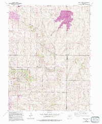
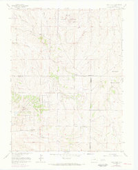
1966 Map of Piney Creek
USGS Topo · Published 1994About this map
Aurora Reservoir dominates the northeastern landscape of this mid-century survey, revisions of which highlight the rapid expansion of the Denver metropolitan fringe. The town of Parker is established in the southwest, while newer residential developments like Ponderosa Hills and Ponderosa East emerge along the drainages of Piney Creek and Sulphur Gulch. The map captures a transitional moment as rural ranch land gives way to suburban infrastructure, evidenced by the Aurora Corporate Boundary and the presence of the Endeavour High School.
Find a feature on this map
35 named features on this map. Tap any name to fly to it.
Don’t see what you’re looking for? This feature index may not catch every label — zoom into the map to look around manually.
Map Details
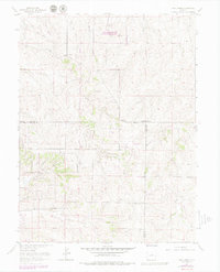
Editions of this 1966 Piney Creek Map
6 editions found
Other maps of this area

1890 · East Denver
USGS Topo · 1:125,000

1894 · Castle Rock
USGS Topo · 1:125,000

1913 · Castle Rock
USGS Topo · 1:125,000

1935 · East Denver Nos. 3 and 4
USGS Topo · 1:48,000

1939 · Coal Creek
USGS Topo · 1:24,000

1939 · Elizabeth
USGS Topo · 1:62,500

1940 · Piney Creek
USGS Topo · 1:24,000

1940 · Castle Rock
USGS Topo · 1:62,500

1941 · Fitzsimons
USGS Topo · 1:31,680

1942 · Parker
USGS Topo · 1:31,680