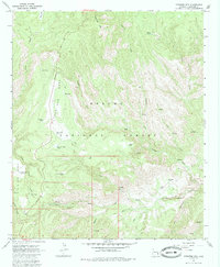
1967 Map of Pipestem Mountain
USGS Topo · Published 1985About this map
Apache National Forest lands dominate this high-altitude landscape of eastern Arizona, where the storied Coronado Trail winds across Four Bar Mesa. The network of canyons and plateaus is defined by water scarcity and livestock management, evidenced by the numerous catchment points like Low Canyon Tank, Salt Box Tank, and Filleman Tank. This mid-century survey illustrates the land use patterns of the era, balancing forest recreation at the Lower Juan Miller Campground and Upper Juan Miller Picnic Area with rugged backcountry infrastructure.
Find a feature on this map
43 named features on this map. Tap any name to fly to it.
Don’t see what you’re looking for? This feature index may not catch every label — zoom into the map to look around manually.
Map Details
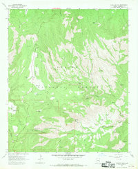
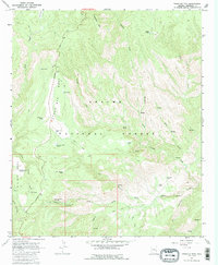
Editions of this 1967 Pipestem Mountain Map
3 editions found
Other maps of this area

1902 · Clifton
USGS Topo · 1:62,500

1913 · Morenci
USGS Topo · 1:125,000

1915 · Morenci
USGS Topo · 1:125,000

1954 · Clifton
USGS Topo · 1:250,000

1957 · Clifton
USGS Topo · 1:250,000

1958 · Clifton
USGS Topo · 1:250,000

1962 · Clifton
USGS Topo · 1:250,000

1962 · Clifton
USGS Topo · 1:62,500

1962 · Big Lue Mts
USGS Topo · 1:62,500

1967 · Robinson Mesa
USGS Topo · 1:24,000