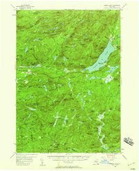
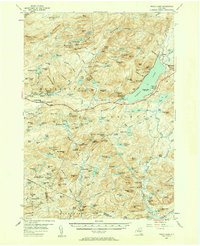
1954 Map of Piseco Lake
USGS Topo · Published 1959About this map
Piseco Lake and the high wilderness of the Adirondacks dominate this mid-century survey, revealing a landscape defined by water and heavy forest. Small pockets of settlement like Morehouseville and Hoffmeister are connected by a thin thread of road along the West Branch, while the eastern shore of the lake at Rudeston serves as a gateway to the mountains. The map captures the infrastructure of forest management and early recreation, featuring the T Lake Lookout Tower No 2 and the Tomany Lookout Tower, alongside several state campsites like Poplar Point State Campsite. Notable for genealogists and local historians are the remote family-named locations such as Averys Place and Powley Place, which hint at the isolation of life in the Metcalf Range and the surrounding townships. The northern section is bisected by the Northville Placid Trail, winding past T Lake and through the high peaks.
Find a feature on this map
170 named features on this map. Tap any name to fly to it.
Don’t see what you’re looking for? This feature index may not catch every label — zoom into the map to look around manually.
Map Details
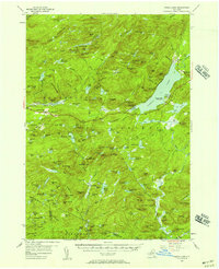
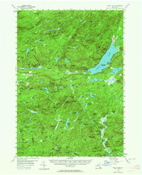
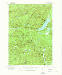
Editions of this 1954 Piseco Lake Map
5 editions found
Other maps of this area

1899 · Indian Lake
USGS Topo · 1:62,500

1900 · Little Falls
USGS Topo · 1:62,500

1900 · Canada Lake
USGS Topo · 1:62,500

1900 · Wilmurt
USGS Topo · 1:62,500

1901 · Old Forge
USGS Topo · 1:62,500

1901 · Lassellsville
USGS Topo · 1:62,500

1902 · Wilmurt
USGS Topo · 1:62,500

1902 · Indian Lake
USGS Topo · 1:62,500

1903 · West Canada Lakes
USGS Topo · 1:62,500

1903 · Gloversville
USGS Topo · 1:62,500