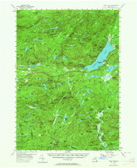
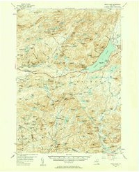
1954 Map of Piseco Lake
USGS Topo · Published 1964About this map
Piseco Lake dominates the eastern half of this Adirondack region, serving as a focal point for mid-century recreation and small lakeside settlements. Along its shores, the communities of Piseco and Higgins Bay are established alongside several public recreation areas, including Poplar Point State Campsite and Little Sand Point State Campsite. The western portion of the map is defined by the headwaters of the South Branch West Canada Creek, which winds through the mountain valleys near Hoffmeister and Morehouseville.
Find a feature on this map
189 named features on this map. Tap any name to fly to it.
Don’t see what you’re looking for? This feature index may not catch every label — zoom into the map to look around manually.
Map Details
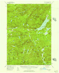
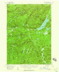
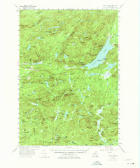
Editions of this 1954 Piseco Lake Map
5 editions found
Other maps of this area

1899 · Indian Lake
USGS Topo · 1:62,500

1900 · Little Falls
USGS Topo · 1:62,500

1900 · Canada Lake
USGS Topo · 1:62,500

1900 · Wilmurt
USGS Topo · 1:62,500

1901 · Old Forge
USGS Topo · 1:62,500

1901 · Lassellsville
USGS Topo · 1:62,500

1902 · Wilmurt
USGS Topo · 1:62,500

1902 · Indian Lake
USGS Topo · 1:62,500

1903 · West Canada Lakes
USGS Topo · 1:62,500

1903 · Gloversville
USGS Topo · 1:62,500