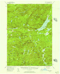
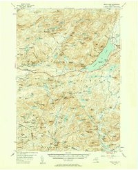
1954 Map of Piseco Lake
USGS Topo · Published 1957About this map
Piseco Lake dominates the eastern half of this 1954 survey, serving as the central geographic anchor for the hamlets of Piseco, Rudeston, and Higgins Bay. The landscape is defined by the high elevations of the Adirondack Park, including the Metcalf Chain of Lakes Range and prominent peaks like Panther Mtn and Irondequoit Mtn. A network of smaller water bodies such as Wilmurt Lake, Spy Lake, and the complex wetlands of The Floe are interconnected by numerous brooks and vlys, illustrating the region's intricate drainage patterns.
Find a feature on this map
144 named features on this map. Tap any name to fly to it.
Don’t see what you’re looking for? This feature index may not catch every label — zoom into the map to look around manually.
Map Details
Editions of this 1954 Piseco Lake Map
5 editions found
Other maps of this area

1899 · Indian Lake
USGS Topo · 1:62,500

1900 · Little Falls
USGS Topo · 1:62,500

1900 · Canada Lake
USGS Topo · 1:62,500

1900 · Wilmurt
USGS Topo · 1:62,500

1901 · Old Forge
USGS Topo · 1:62,500

1901 · Lassellsville
USGS Topo · 1:62,500

1902 · Wilmurt
USGS Topo · 1:62,500

1902 · Indian Lake
USGS Topo · 1:62,500

1903 · West Canada Lakes
USGS Topo · 1:62,500

1903 · Gloversville
USGS Topo · 1:62,500