
1904 Map of Pitcher
USGS Topo · Published 1904About this map
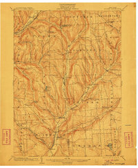
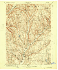
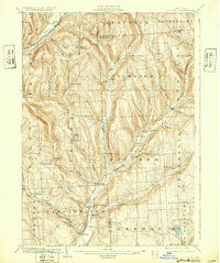
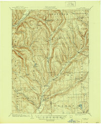
The Otselic River and its numerous tributaries, including Brakel Creek and Mud Creek, carve a landscape of sharp ridges and narrow valleys across the border of Cortland and Chenango Counties. At the turn of the century, this region was defined by a network of small, elevated hamlets like Cuyler Hill, Taylor Center, and Potter Hill, while larger centers of commerce developed at lower elevations. Cincinnatus serves as a primary hub in the south, supported by the Lehigh Valley R R Elmira and Cortland Br which follows the Tioughnioga River valley in the northwest. This 1904 survey records the agrarian footprint of the era, from the mill sites at Pitcher Springs to the isolated settlement at Mariposa. The density of named brooks and ponds, such as Solon Pond and Genegantslet Lake, suggests a well-watered territory transitioning from early timbering to established dairy farming and local trade.
Find a feature on this map
63 named features on this map. Tap any name to fly to it.
Don’t see what you’re looking for? This feature index may not catch every label — zoom into the map to look around manually.
Map Details
Editions of this 1904 Pitcher Map
5 editions found
Other maps of this area

1897 · Cazenovia
USGS Topo · 1:62,500

1899 · Cazenovia
USGS Topo · 1:62,500

1900 · Tully
USGS Topo · 1:62,500

1902 · Coventry
USGS Topo · 1:62,500

1902 · Morrisville
USGS Topo · 1:62,500

1903 · Norwich
USGS Topo · 1:62,500

1903 · Cortland
USGS Topo · 1:62,500

1903 · Harford
USGS Topo · 1:62,500

1904 · Greene
USGS Topo · 1:62,500

1904 · Oxford
USGS Topo · 1:62,500