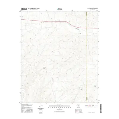
2016 Map of Pitchfork Ranch
USGS Topo · Published 2016About this map
Pitchfork Ranch anchors this landscape in the southern plains of West Texas, situated along the complex drainage network of the S Wichita River. The topography is defined by a series of dramatic breaks and incisions, including Davidson Canyon and Water Canyon in the north, and Flakemoore Canyon to the south. This 2016 survey illustrates the remote character of the Dickens Co King Co boundary line, where land use is dominated by large-scale ranching operations and natural watercourses.
Find a feature on this map
15 named features on this map. Tap any name to fly to it.
Don’t see what you’re looking for? This feature index may not catch every label — zoom into the map to look around manually.
Map Details
Editions of this 2016 Pitchfork Ranch Map
This is the sole edition of this map. No revisions or reprints were ever made.
Other maps of this area

1954 · Lubbock
USGS Topo · 1:250,000

1958 · Pursley House
USGS Topo · 1:24,000

1958 · Southerland Canyon
USGS Topo · 1:24,000

1959 · Gilpin
USGS Topo · 1:24,000

1967 · Guthrie NW
USGS Topo · 1:24,000

1968 · East Afton
USGS Topo · 1:24,000

1968 · Pitchfork Ranch
USGS Topo · 1:24,000

1968 · Croton Camp
USGS Topo · 1:24,000

1968 · East Afton NE
USGS Topo · 1:24,000

1968 · Pitchfork Flats
USGS Topo · 1:24,000