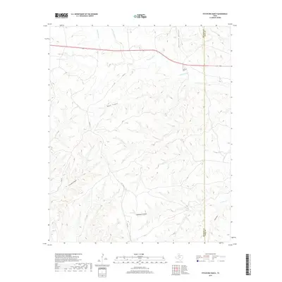
2019 Map of Pitchfork Ranch
USGS Topo · Published 2019About this map
Pitchfork Ranch sits at the center of this cattle country landscape, where the broken terrain of the Texas Rolling Plains meets the headwaters of several major drainages. The S Wichita River and its tributary, Geneva Fork, dominate the northern portion of the sheet, while the southern reaches are defined by the intricate networks of Croton Cr and N Croton Cr. This area is characterized by a dense system of canyons and draws that slice through the high ground, creating natural boundaries and historic ranching corridors.
Find a feature on this map
17 named features on this map. Tap any name to fly to it.
Don’t see what you’re looking for? This feature index may not catch every label — zoom into the map to look around manually.
Map Details
Editions of this 2019 Pitchfork Ranch Map
This is the sole edition of this map. No revisions or reprints were ever made.
Other maps of this area

1954 · Lubbock
USGS Topo · 1:250,000

1958 · Pursley House
USGS Topo · 1:24,000

1958 · Southerland Canyon
USGS Topo · 1:24,000

1959 · Gilpin
USGS Topo · 1:24,000

1967 · Guthrie NW
USGS Topo · 1:24,000

1968 · East Afton
USGS Topo · 1:24,000

1968 · Pitchfork Ranch
USGS Topo · 1:24,000

1968 · Croton Camp
USGS Topo · 1:24,000

1968 · East Afton NE
USGS Topo · 1:24,000

1968 · Pitchfork Flats
USGS Topo · 1:24,000