
1951 Map of Pittsburg East
USGS Topo · Published 1951About this map
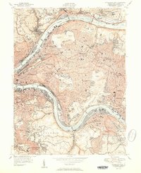
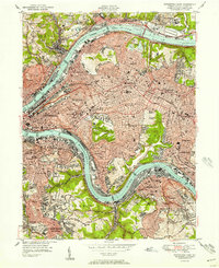
The Allegheny River and Monongahela River converge in this detailed mapping of the eastern city and its surrounding boroughs. The landscape is defined by a dense concentration of academic and cultural institutions, notably the University of Pittsburgh and the Carnegie Institute of Technology in Oakland. Significant open spaces like the Allegheny Cemetery and Schenley Park provide a distinct contrast to the industrial and residential grid of neighborhoods like Lawrenceville and East Liberty.
Find a feature on this map
118 named features on this map. Tap any name to fly to it.
Don’t see what you’re looking for? This feature index may not catch every label — zoom into the map to look around manually.
Map Details
Editions of this 1951 Pittsburg East Map
3 editions found
Other maps of this area

1904 · Mc Keesport
USGS Topo · 1:62,500

1904 · Carnegie
USGS Topo · 1:62,500

1906 · Carnegie
USGS Topo · 1:62,500

1906 · Sewickley
USGS Topo · 1:62,500

1907 · Pittsburg
USGS Topo · 1:62,500

1908 · Sewickley
USGS Topo · 1:62,500

1908 · Carnegie
USGS Topo · 1:62,500

1908 · New Kensington
USGS Topo · 1:62,500

1910 · New Kensington
USGS Topo · 1:62,500

1948 · Pittsburgh West
USGS Topo · 1:24,000