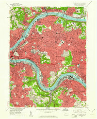
1960 Map of Pittsburgh East
USGS Topo · Published 1961About this map
Industrial corridors along the Allegheny River and Monongahela River anchor this 1960 survey of Pittsburgh and its eastern suburbs. The landscape is defined by the dense rail infrastructure of the Baltimore and Ohio Railroad and Pennsylvania Railroad, serving heavy riverside industry while residential neighborhoods like Squirrel Hill, East Liberty, and Shadyside occupy the higher terrain. Massive greenspaces including Schenley Park, Frick Park, and the sprawling Allegheny Cemetery provide a sharp contrast to the urban grid.
Find a feature on this map
151 named features on this map. Tap any name to fly to it.
Don’t see what you’re looking for? This feature index may not catch every label — zoom into the map to look around manually.
Map Details
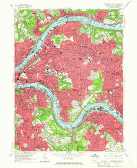
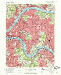
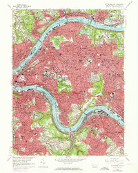
Editions of this 1960 Pittsburgh East Map
4 editions found
Other maps of this area

1904 · Mc Keesport
USGS Topo · 1:62,500

1904 · Carnegie
USGS Topo · 1:62,500

1906 · Carnegie
USGS Topo · 1:62,500

1906 · Sewickley
USGS Topo · 1:62,500

1907 · Pittsburg
USGS Topo · 1:62,500

1908 · Sewickley
USGS Topo · 1:62,500

1908 · Carnegie
USGS Topo · 1:62,500

1908 · New Kensington
USGS Topo · 1:62,500

1910 · New Kensington
USGS Topo · 1:62,500

1948 · Pittsburgh West
USGS Topo · 1:24,000