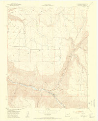
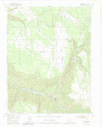
1953 Map of Placerville
USGS Topo · Published 1954About this map
The San Miguel River cuts a deep path through this southwestern Colorado landscape, where the settlement of Placerville sits at the confluence with Leopard Creek. This 1953 survey, conducted for the United States Atomic Energy Commission, highlights a region defined by high mesa tops and steep-walled canyons. Industry and education are captured in transition, notably at the Iron Springs Mesa School (Aband) and the former stop at Leonard (Aband) within Leopard Canyon. The presence of an Aerial Tramway and the Omega Mine on the slopes of Hastings Mesa points to the area's mining activity during the post-war uranium boom. The northern reaches are dominated by the Uncompahgre National Forest, providing a detailed look at the water sources and drainage patterns across Iron Springs Mesa and Flatiron.
Find a feature on this map
30 named features on this map. Tap any name to fly to it.
Don’t see what you’re looking for? This feature index may not catch every label — zoom into the map to look around manually.
Map Details
Editions of this 1953 Placerville Map
6 editions found
Other maps of this area

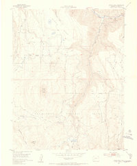
1897 · Telluride
USGS Topo · 1:62,500

1904 · Telluride
USGS Topo · 1:62,500

1909 · Montrose
USGS Topo · 1:125,000

1911 · Montrose
USGS Topo · 1:125,000

1945 · Durango
USGS Topo · 1:250,000
1953 · Placerville
USGS Topo · 1:24,000
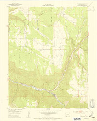
1953 · Gray Head
USGS Topo · 1:24,000
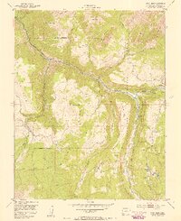
1953 · Little Cone
USGS Topo · 1:24,000

1953 · Durango
USGS Topo · 1:250,000

1954 · Durango
USGS Topo · 1:250,000