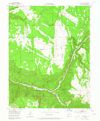
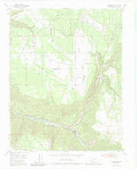
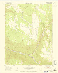
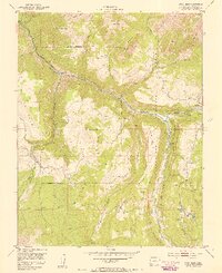
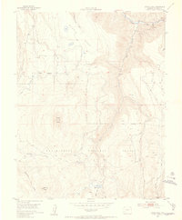
1953 Map of Placerville
USGS Topo · Published 1965About this map
The San Miguel River winds through the deep San Miguel Canyon in this mid-century survey, which also highlights the high mesa lands above the river valley. The settlement of Placerville sits at the confluence of Leopard Creek and the river, serving as a hub for the surrounding ranching and mining terrain. Notable industrial and civic remnants of the era are visible, including an Aerial Tramway and the Omega Mine, while the Iron Springs Mesa School (Aband) reflects the changing rural population patterns as local schools consolidated or closed.
Find a feature on this map
33 named features on this map. Tap any name to fly to it.
Don’t see what you’re looking for? This feature index may not catch every label — zoom into the map to look around manually.
Map Details
Editions of this 1953 Placerville Map
6 editions found
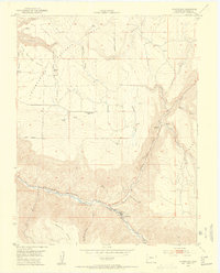
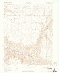
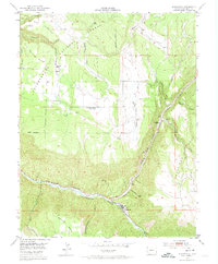
Other maps of this area

1897 · Telluride
USGS Topo · 1:62,500

1904 · Telluride
USGS Topo · 1:62,500

1909 · Montrose
USGS Topo · 1:125,000

1911 · Montrose
USGS Topo · 1:125,000

1945 · Durango
USGS Topo · 1:250,000
1953 · Placerville
USGS Topo · 1:24,000
1953 · Gray Head
USGS Topo · 1:24,000
1953 · Little Cone
USGS Topo · 1:24,000

1953 · Durango
USGS Topo · 1:250,000

1954 · Durango
USGS Topo · 1:250,000