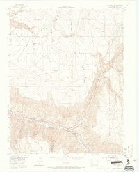
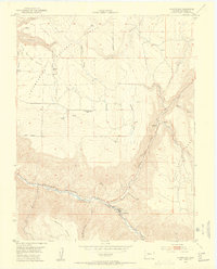
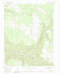
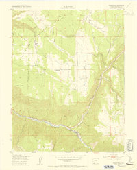
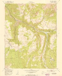
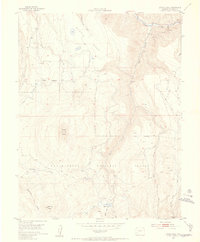
1953 Map of Placerville
USGS Topo · Published 1965About this map
Placerville and the narrow corridor of the San Miguel River anchor this mid-century look at San Miguel County. The landscape is defined by massive plateau formations, including Iron Springs Mesa, Specie Mesa, and Hastings Mesa, which are dissected by deep drainages like Leopard Canyon and Slaughterhouse Gulch. This survey, a joint effort involving the United States Atomic Energy Commission, reflects the region's geological significance during the post-war era.
Find a feature on this map
34 named features on this map. Tap any name to fly to it.
Don’t see what you’re looking for? This feature index may not catch every label — zoom into the map to look around manually.
Map Details
Editions of this 1953 Placerville Map
6 editions found
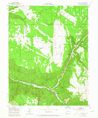
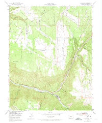
Other maps of this area

1897 · Telluride
USGS Topo · 1:62,500

1904 · Telluride
USGS Topo · 1:62,500

1909 · Montrose
USGS Topo · 1:125,000

1911 · Montrose
USGS Topo · 1:125,000

1945 · Durango
USGS Topo · 1:250,000
1953 · Placerville
USGS Topo · 1:24,000
1953 · Gray Head
USGS Topo · 1:24,000
1953 · Little Cone
USGS Topo · 1:24,000

1953 · Durango
USGS Topo · 1:250,000

1954 · Durango
USGS Topo · 1:250,000