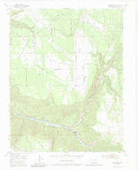
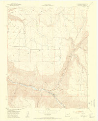
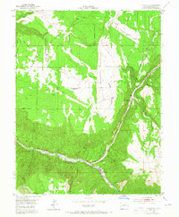
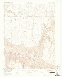
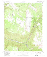
1953 Map of Placerville
USGS Topo · Published 1982About this map
Placerville serves as the focal point of this 1950s study, situated at the confluence of the San Miguel River and Leopard Creek. The landscape is defined by massive landforms like Specie Mesa and Hastings Mesa, which rise sharply from the river valley. Evidence of early mountain life and industry is scattered throughout the Uncompahgre National Forest, including the Omega Mine and the site of Leonard.
Find a feature on this map
31 named features on this map. Tap any name to fly to it.
Don’t see what you’re looking for? This feature index may not catch every label — zoom into the map to look around manually.
Map Details
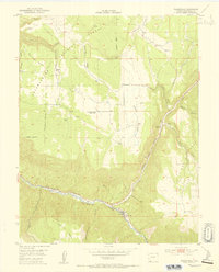
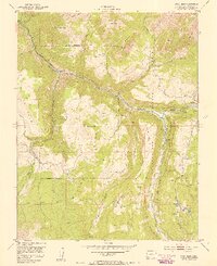
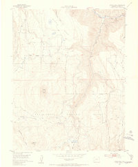
Editions of this 1953 Placerville Map
6 editions found
Other maps of this area

1897 · Telluride
USGS Topo · 1:62,500

1904 · Telluride
USGS Topo · 1:62,500

1909 · Montrose
USGS Topo · 1:125,000

1911 · Montrose
USGS Topo · 1:125,000

1945 · Durango
USGS Topo · 1:250,000
1953 · Placerville
USGS Topo · 1:24,000
1953 · Gray Head
USGS Topo · 1:24,000
1953 · Little Cone
USGS Topo · 1:24,000

1953 · Durango
USGS Topo · 1:250,000

1954 · Durango
USGS Topo · 1:250,000