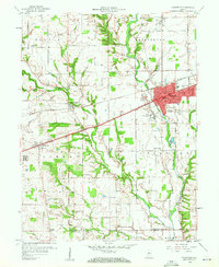
1959 Map of Plainfield
USGS Topo · Published 1960About this map
The Second Principal Meridian bisects this Hendricks County landscape, serving as a primary surveying anchor for the surrounding townships of Center, Washington, Liberty, and Guilford. The town of Plainfield sits at the intersection of the National Road and the Pennsylvania Railroad, reflecting its role as a regional transport hub in the late 1950s. The presence of the State Boys School and St Susanna Sch near the municipal center highlights the community's established social infrastructure.
Find a feature on this map
34 named features on this map. Tap any name to fly to it.
Don’t see what you’re looking for? This feature index may not catch every label — zoom into the map to look around manually.
Map Details
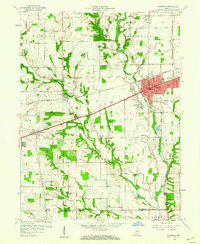
Editions of this 1959 Plainfield Map
2 editions found
Other maps of this area

1953 · Bridgeport
USGS Topo · 1:24,000

1953 · Clayton
USGS Topo · 1:24,000

1953 · Danville
USGS Topo · 1:24,000

1953 · Brownsburg
USGS Topo · 1:24,000

1953 · Plainfield
USGS Topo · 1:24,000

1953 · Clermont
USGS Topo · 1:24,000

1953 · Indianapolis
USGS Topo · 1:250,000

1955 · Hall
USGS Topo · 1:24,000

1955 · Mooresville West
USGS Topo · 1:24,000

1955 · Mooresville East
USGS Topo · 1:24,000