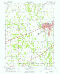
1970 Map of Plainfield
USGS Topo · Published 1972About this map
Plainfield serves as the focal point of this 1970 landscape, where the National Road and the Penn Central railroad corridor intersect to drive suburban growth. The town’s social infrastructure is deeply mapped, from the Van Buren Sch and St Susanna Sch to the campus of the Indiana Boys School and the Indiana Youth Center. This record captures the transition from agricultural townships like Center and Guilford into a more industrial and residential hub, evidenced by the numerous street names such as Tucker Ave and Buchannan St.
Find a feature on this map
60 named features on this map. Tap any name to fly to it.
Don’t see what you’re looking for? This feature index may not catch every label — zoom into the map to look around manually.
Map Details
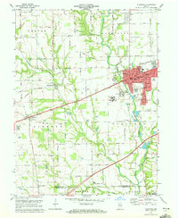
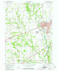
Editions of this 1970 Plainfield Map
3 editions found
Other maps of this area

1953 · Bridgeport
USGS Topo · 1:24,000

1953 · Clayton
USGS Topo · 1:24,000

1953 · Danville
USGS Topo · 1:24,000

1953 · Brownsburg
USGS Topo · 1:24,000

1953 · Plainfield
USGS Topo · 1:24,000

1953 · Clermont
USGS Topo · 1:24,000

1953 · Indianapolis
USGS Topo · 1:250,000

1955 · Hall
USGS Topo · 1:24,000

1955 · Mooresville West
USGS Topo · 1:24,000

1955 · Mooresville East
USGS Topo · 1:24,000