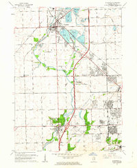
1962 Map of Plainfield
USGS Topo · Published 1963About this map
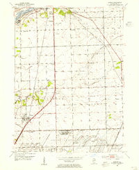
The Du Page River corridor defines the landscape of this 1962 revision, flowing south through Plainfield toward the growing outskirts of Joliet. This era captures a period of significant suburban and industrial expansion, where large gravel extraction operations like those near Lake Plainfield and Lake Renwick sit adjacent to emerging residential neighborhoods and institutional sites. The industrial character of the region is reinforced by the heavy rail infrastructure of the Elgin Joliet and Eastern Railroad, which intersects with historical land divisions marked by the Treaty Boundary.
Find a feature on this map
50 named features on this map. Tap any name to fly to it.
Don’t see what you’re looking for? This feature index may not catch every label — zoom into the map to look around manually.
Map Details
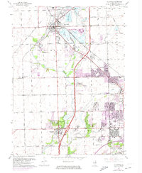
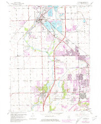
Editions of this 1962 Plainfield Map
3 editions found
Other maps of this area

1892 · Morris
USGS Topo · 1:62,500

1892 · Joliet
USGS Topo · 1:62,500

1892 · Wilmington
USGS Topo · 1:62,500

1918 · Wilmington
USGS Topo · 1:62,500

1918 · Morris
USGS Topo · 1:62,500

1923 · Joliet
USGS Topo · 1:62,500

1925 · Yorkville
USGS Topo · 1:62,500

1953 · Yorkville SE
USGS Topo · 1:24,000
1953 · Normantown
USGS Topo · 1:24,000
1953 · Elwood
USGS Topo · 1:24,000