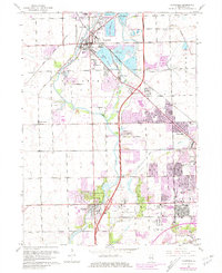
1962 Map of Plainfield
USGS Topo · Published 1981About this map
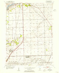
The Du Page River valley serves as the central axis for this early 1960s study of Will County, as urban expansion begins to press into traditional farmland. The Elgin Joliet and Eastern Railroad creates a prominent corridor through Plainfield, connecting the village to the industrial landscape of northern Joliet. The area is characterized by a significant number of extraction sites, particularly Gravel Pits clustered around Lake Plainfield and Lake Renwick, signaling the era's demand for construction materials. Cultural and civic landmarks are densely mapped, including the Joliet Municipal Airport and the Reformatory near the southern boundary. For those researching local heritage, the map documents several burial grounds such as St Marys Cem and the Hills of Rest Cemetery, alongside numerous educational institutions like Troy Sch and Richland Sch.
Find a feature on this map
44 named features on this map. Tap any name to fly to it.
Don’t see what you’re looking for? This feature index may not catch every label — zoom into the map to look around manually.
Map Details
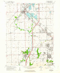
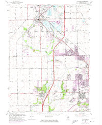
Editions of this 1962 Plainfield Map
3 editions found
Other maps of this area

1892 · Morris
USGS Topo · 1:62,500

1892 · Joliet
USGS Topo · 1:62,500

1892 · Wilmington
USGS Topo · 1:62,500

1918 · Wilmington
USGS Topo · 1:62,500

1918 · Morris
USGS Topo · 1:62,500

1923 · Joliet
USGS Topo · 1:62,500

1925 · Yorkville
USGS Topo · 1:62,500

1953 · Yorkville SE
USGS Topo · 1:24,000
1953 · Normantown
USGS Topo · 1:24,000
1953 · Elwood
USGS Topo · 1:24,000