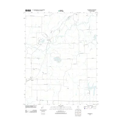
2012 Map of Plainview
USGS Topo · Published 2012About this map
Beaver Dam State Park and its surrounding water bodies define the rural landscape of this Macoupin County area. The map illustrates a region where recreation and local heritage intersect, with the central park complex containing Beaver Lake and Macoupin settlement. Further south and east, newer developments like Lake Catatoga and New Gillespie Lake suggest a transition toward residential and leisure-focused land use, departing from the purely agricultural grid.
Find a feature on this map
61 named features on this map. Tap any name to fly to it.
Don’t see what you’re looking for? This feature index may not catch every label — zoom into the map to look around manually.
Map Details
Editions of this 2012 Plainview Map
This is the sole edition of this map. No revisions or reprints were ever made.
Other maps of this area

1912 · Gillespie
USGS Topo · 1:62,500

1915 · Gillespie
USGS Topo · 1:62,500

1923 · Carlinville
USGS Topo · 1:48,000

1925 · Carlinville
USGS Topo · 1:62,500

1925 · Brighton
USGS Topo · 1:62,500

1928 · Brighton
USGS Topo · 1:62,500

1931 · Carlinville
USGS Topo · 1:62,500

1932 · Greenfield
USGS Topo · 1:62,500

1948 · Quincy
USGS Topo · 1:250,000

1956 · Quincy
USGS Topo · 1:250,000