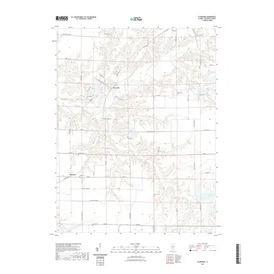
2021 Map of Plainview
USGS Topo · Published 2021About this map
Macoupin Creek and its many tributaries, including Hurricane Cr and Lick Br, create a deeply dissected landscape across this portion of Macoupin County. The small settlements of Plainview and Macoupin serve as the primary hubs for this rural community, where the land use is primarily agricultural, interspersed with significant riparian corridors. A notable concentration of family and community burial sites reflects the area's long-established resident history, with Emerick Cem, Brayford Cem, and Hillyard Cem scattered across the township lines.
Find a feature on this map
57 named features on this map. Tap any name to fly to it.
Don’t see what you’re looking for? This feature index may not catch every label — zoom into the map to look around manually.
Map Details
Editions of this 2021 Plainview Map
This is the sole edition of this map. No revisions or reprints were ever made.
Other maps of this area

1912 · Gillespie
USGS Topo · 1:62,500

1915 · Gillespie
USGS Topo · 1:62,500

1923 · Carlinville
USGS Topo · 1:48,000

1925 · Carlinville
USGS Topo · 1:62,500

1925 · Brighton
USGS Topo · 1:62,500

1928 · Brighton
USGS Topo · 1:62,500

1931 · Carlinville
USGS Topo · 1:62,500

1932 · Greenfield
USGS Topo · 1:62,500

1948 · Quincy
USGS Topo · 1:250,000

1956 · Quincy
USGS Topo · 1:250,000