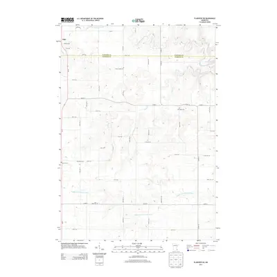
2013 Map of Plainview SW
USGS Topo · Published 2013About this map
Elgin sits at the northwestern edge of this landscape, where the agricultural uplands of southern Minnesota meet the complex drainage basins of the Whitewater River system. The boundary between Wabasha Co and Olmsted Co cuts horizontally across the northern section, a line reflected in the precise grid of county roads and section lines. The terrain is defined by the winding descent of the North Fork Whitewater River and the Middle Fork Whitewater River, which carve through the plateau. For those researching local families, the map is remarkably dense with rural cemeteries, including Pleasant Valley Cem, Little Valley Cem, and Saint Paul's Cem, each marking a small neighborhood node within the larger township structure. The inclusion of Reinecke Farms and numerous numbered avenues like 150th Ave NE illustrates the modern organization of this long-established farming region.
Find a feature on this map
31 named features on this map. Tap any name to fly to it.
Don’t see what you’re looking for? This feature index may not catch every label — zoom into the map to look around manually.
Map Details
Editions of this 2013 Plainview SW Map
This is the sole edition of this map. No revisions or reprints were ever made.
Other maps of this area

1934 · Plainview
USGS Topo · 1:62,500

1935 · Rochester
USGS Topo · 1:48,000

1938 · Plainview
USGS Topo · 1:62,500

1939 · Rochester
USGS Topo · 1:62,500

1953 · Saint Paul
USGS Topo · 1:250,000

1954 · Chatfield
USGS Topo · 1:62,500

1954 · Mason City
USGS Topo · 1:250,000

1955 · Stewartville
USGS Topo · 1:62,500

1957 · Mason City
USGS Topo · 1:250,000

1958 · Mason City
USGS Topo · 1:250,000