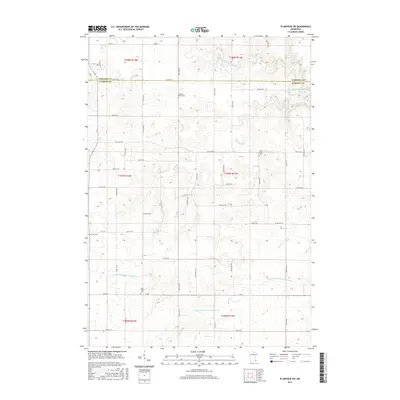
2016 Map of Plainview SW
USGS Topo · Published 2016About this map
Wabasha Co and Olmsted Co meet along a straight horizontal boundary in this rural section of southeastern Minnesota. The landscape is defined by the winding paths of the N Fork Whitewater River and the Middle Fork Whitewater River, which carve deep valleys through the upland plains. These waterways, along with tributaries like Logan Br, dictate the agricultural layout of the region, where farmsteads are connected by a precise grid of township roads.
Find a feature on this map
54 named features on this map. Tap any name to fly to it.
Don’t see what you’re looking for? This feature index may not catch every label — zoom into the map to look around manually.
Map Details
Editions of this 2016 Plainview SW Map
This is the sole edition of this map. No revisions or reprints were ever made.
Other maps of this area

1934 · Plainview
USGS Topo · 1:62,500

1935 · Rochester
USGS Topo · 1:48,000

1938 · Plainview
USGS Topo · 1:62,500

1939 · Rochester
USGS Topo · 1:62,500

1953 · Saint Paul
USGS Topo · 1:250,000

1954 · Chatfield
USGS Topo · 1:62,500

1954 · Mason City
USGS Topo · 1:250,000

1955 · Stewartville
USGS Topo · 1:62,500

1957 · Mason City
USGS Topo · 1:250,000

1958 · Mason City
USGS Topo · 1:250,000