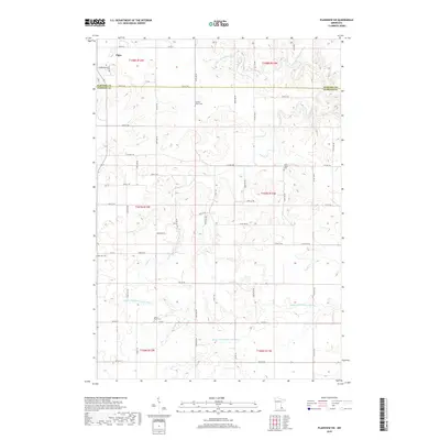
2019 Map of Plainview SW
USGS Topo · Published 2019About this map
Elgin sits in the northwestern corner of this landscape, positioned where the high agricultural plains of the region begin to drop toward the river valleys. The terrain is defined by the dendritic drainage patterns of the Whitewater River system, including the N Fork Whitewater River and the meandering Middle Fork Whitewater River. These waterways have carved deep, winding coulees into the limestone plateau, creating a distinct contrast between the flat, gridded uplands and the intricate contours of the valley floors.
Find a feature on this map
35 named features on this map. Tap any name to fly to it.
Don’t see what you’re looking for? This feature index may not catch every label — zoom into the map to look around manually.
Map Details
Editions of this 2019 Plainview SW Map
This is the sole edition of this map. No revisions or reprints were ever made.
Other maps of this area

1934 · Plainview
USGS Topo · 1:62,500

1935 · Rochester
USGS Topo · 1:48,000

1938 · Plainview
USGS Topo · 1:62,500

1939 · Rochester
USGS Topo · 1:62,500

1953 · Saint Paul
USGS Topo · 1:250,000

1954 · Chatfield
USGS Topo · 1:62,500

1954 · Mason City
USGS Topo · 1:250,000

1955 · Stewartville
USGS Topo · 1:62,500

1957 · Mason City
USGS Topo · 1:250,000

1958 · Mason City
USGS Topo · 1:250,000