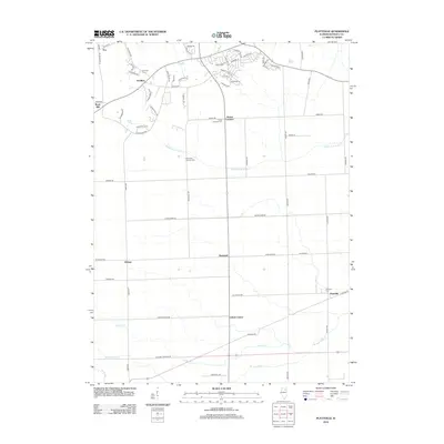
2012 Map of Plattville
USGS Topo · Published 2012About this map
The settlement of Plattville and several surrounding rural hamlets define this portion of the Illinois prairie. This landscape is characterized by a grid of farm-to-market roads, such as Caton Farm Rd and Lisbon Rd, connecting small communities that often grew around central intersections or rural churches. Notable burial sites like Cross Lutheran Cem and the Immanuel Lutheran Cem reflect the area’s deep-seated pioneer and immigrant heritage. Several branches of the Middle Aux Sable Cr and W Aux Sable Cr cut through the terrain, providing natural drainage for the agricultural lands that dominate the region. To the northwest, Knob Hill and the settlement of Pavillion stand as landmarks in an area otherwise defined by its gently undulating creek valleys and long-established homesteads like those found at Ament Corners and Helmar.
Find a feature on this map
66 named features on this map. Tap any name to fly to it.
Don’t see what you’re looking for? This feature index may not catch every label — zoom into the map to look around manually.
Map Details
Editions of this 2012 Plattville Map
This is the sole edition of this map. No revisions or reprints were ever made.
Other maps of this area

1892 · Morris
USGS Topo · 1:62,500

1892 · Marseilles
USGS Topo · 1:62,500

1916 · Marseilles
USGS Topo · 1:62,500

1918 · Morris
USGS Topo · 1:62,500

1925 · Yorkville
USGS Topo · 1:62,500

1940 · Marseilles
USGS Topo · 1:62,500

1948 · Sandwich
USGS Topo · 1:62,500

1950 · Sandwich
USGS Topo · 1:62,500

1953 · Plattville
USGS Topo · 1:24,000

1953 · Lisbon
USGS Topo · 1:24,000