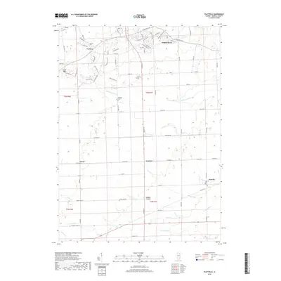
2018 Map of Plattville
USGS Topo · Published 2018About this map
Yorkville anchors the northeastern corner of this landscape, where residential developments like Country Hills Dr and Prairie Crossing Dr meet the agricultural heart of Kendall County. The map captures a transition from suburban expansion near the Fox River corridor to the traditional rural hamlets of Plattville, Helmar, and Kentland. This region is defined by its fertile plains and the winding paths of the Middle Aux Sable Cr and Lisbon Cr.
Find a feature on this map
78 named features on this map. Tap any name to fly to it.
Don’t see what you’re looking for? This feature index may not catch every label — zoom into the map to look around manually.
Map Details
Editions of this 2018 Plattville Map
This is the sole edition of this map. No revisions or reprints were ever made.
Other maps of this area

1892 · Morris
USGS Topo · 1:62,500

1892 · Marseilles
USGS Topo · 1:62,500

1916 · Marseilles
USGS Topo · 1:62,500

1918 · Morris
USGS Topo · 1:62,500

1925 · Yorkville
USGS Topo · 1:62,500

1940 · Marseilles
USGS Topo · 1:62,500

1948 · Sandwich
USGS Topo · 1:62,500

1950 · Sandwich
USGS Topo · 1:62,500

1953 · Plattville
USGS Topo · 1:24,000

1953 · Lisbon
USGS Topo · 1:24,000