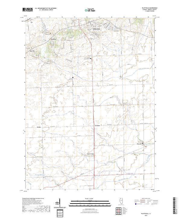
2024 Map of Plattville
USGS Topo · Published 2024About this map
The agrarian landscape of southern Kendall County is defined by the branching tributaries of the Aux Sable Creek system. Near the northern border, the city of Yorkville serves as a primary hub, while smaller unincorporated settlements like Pavillion, Helmar, and Lisbon Center anchor the surrounding rural sections. The drainage patterns of Middle Aux Sable Creek and West Aux Sable Creek influence the local topography and the orientation of the road network, which follows a rigid section-line grid except where it curves to meet the terrain of Knob Hill.
Find a feature on this map
67 named features on this map. Tap any name to fly to it.
Don’t see what you’re looking for? This feature index may not catch every label — zoom into the map to look around manually.
Map Details
Editions of this 2024 Plattville Map
This is the sole edition of this map. No revisions or reprints were ever made.
Other maps of this area

1892 · Morris
USGS Topo · 1:62,500

1892 · Marseilles
USGS Topo · 1:62,500

1916 · Marseilles
USGS Topo · 1:62,500

1918 · Morris
USGS Topo · 1:62,500

1925 · Yorkville
USGS Topo · 1:62,500

1940 · Marseilles
USGS Topo · 1:62,500

1948 · Sandwich
USGS Topo · 1:62,500

1950 · Sandwich
USGS Topo · 1:62,500

1953 · Plattville
USGS Topo · 1:24,000

1953 · Lisbon
USGS Topo · 1:24,000