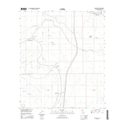
2015 Map of Plaucheville
USGS Topo · Published 2015About this map
The low-lying plains of Avoyelles Parish are defined by an intricate network of waterways and the managed basin of the West Atchafalaya Floodway. The settlement of Plaucheville serves as a local hub, with the Plaucheville Cem nearby serving as a focal point for genealogical research. Smaller communities like Dupont, Bodoc, and Broussard are connected by a grid of rural roads and parish routes that trace the natural levees of the region.
Find a feature on this map
50 named features on this map. Tap any name to fly to it.
Don’t see what you’re looking for? This feature index may not catch every label — zoom into the map to look around manually.
Map Details
Editions of this 2015 Plaucheville Map
This is the sole edition of this map. No revisions or reprints were ever made.
Other maps of this area

1940 · Marksville
USGS Topo · 1:62,500

1941 · Voorhies
USGS Topo · 1:62,500

1948 · Bunkie
USGS Topo · 1:62,500

1952 · Lake Charles
USGS Topo · 1:250,000

1953 · Alexandria
USGS Topo · 1:250,000

1953 · Natchez
USGS Topo · 1:250,000

1954 · Lake Charles
USGS Topo · 1:250,000

1954 · Baton Rouge
USGS Topo · 1:250,000

1955 · Odenburg
USGS Topo · 1:62,500

1955 · Alexandria
USGS Topo · 1:250,000