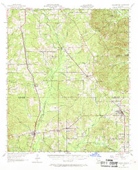
1957 Map of Pleasant Hill
USGS Topo · Published 1969About this map
The Parish line between De Soto Parish and Sabine Parish divides this rural landscape, defined in the mid-1950s by its timbered ridges and a transition from agricultural life to oil exploration. The western corridor is dominated by the Kansas City Southern railroad, which links the settlements of Converse and Benson through a series of creek crossings and bayou headwaters. To the east, the Texas and Pacific line serves Pleasant Hill, a hub for local families as evidenced by nearby landmarks like the Old Pleasant Hill Cem and Antioch Ch. The map captures a moment when the rural school system was consolidating, noting the Pelican Sch while the Rambin Sch is marked as abandoned. Pockets of resource extraction are visible through numerous Oil Wells and a Gas Well near Moccasin Ct, signaling the industrial shift in the local economy.
Find a feature on this map
70 named features on this map. Tap any name to fly to it.
Don’t see what you’re looking for? This feature index may not catch every label — zoom into the map to look around manually.
Map Details
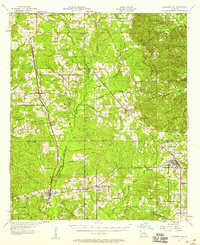
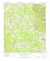
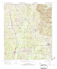
Editions of this 1957 Pleasant Hill Map
4 editions found
Other maps of this area

1938 · Chemard Lake
USGS Topo · 1:31,680

1938 · Hollis Creek
USGS Topo · 1:31,680

1941 · Zwolle
USGS Topo · 1:62,500

1941 · Pelican
USGS Topo · 1:62,500

1942 · Many
USGS Topo · 1:62,500

1943 · Many
USGS Topo · 1:62,500

1943 · Pleasant Hill
USGS Topo · 1:62,500

1944 · Logansport
USGS Topo · 1:62,500

1944 · Patroon
USGS Topo · 1:62,500

1944 · Zwolle
USGS Topo · 1:62,500