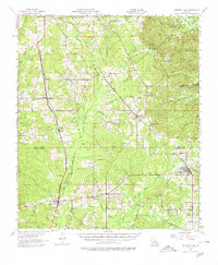
1957 Map of Pleasant Hill
USGS Topo · Published 1980About this map
Pleasant Hill and the surrounding piney woods of De Soto Parish and Sabine Parish are captured here during a period of established rail transport and rural community growth. Two major rail lines, the Kansas City Southern and the Texas and Pacific, anchor the local economy, connecting small towns like Oxford and Converse to the broader region. The landscape is defined by a dense network of watercourses, including San Patricio Bayou and San Miguel Bayou, which likely dictated the early settlement patterns and logging operations in the area.
Find a feature on this map
63 named features on this map. Tap any name to fly to it.
Don’t see what you’re looking for? This feature index may not catch every label — zoom into the map to look around manually.
Map Details
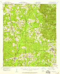
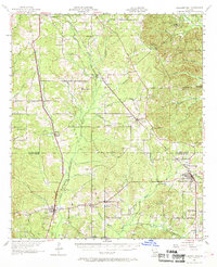
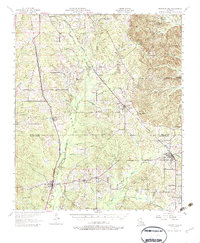
Editions of this 1957 Pleasant Hill Map
4 editions found
Other maps of this area

1938 · Chemard Lake
USGS Topo · 1:31,680

1938 · Hollis Creek
USGS Topo · 1:31,680

1941 · Zwolle
USGS Topo · 1:62,500

1941 · Pelican
USGS Topo · 1:62,500

1942 · Many
USGS Topo · 1:62,500

1943 · Many
USGS Topo · 1:62,500

1943 · Pleasant Hill
USGS Topo · 1:62,500

1944 · Logansport
USGS Topo · 1:62,500

1944 · Patroon
USGS Topo · 1:62,500

1944 · Zwolle
USGS Topo · 1:62,500