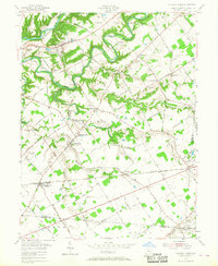
1955 Map of Pleasant Plain
USGS Topo · Published 1968About this map
The Little Miami River and Todd Fork define the northern landscape of this mid-century survey, where the Pennsylvania RR follows the river valley through Morrow. The region is characterized by small agricultural hubs like Butlerville and Edwardsville, connected by a network of gravel and improved roads including the General Duncan Mc Arthur Highway. In the southern portion, Pleasant Plain sits along the Baltimore and Ohio RR, serving as a central point for the surrounding farmsteads.
Find a feature on this map
93 named features on this map. Tap any name to fly to it.
Don’t see what you’re looking for? This feature index may not catch every label — zoom into the map to look around manually.
Map Details
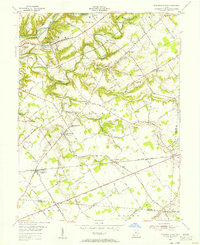
Editions of this 1955 Pleasant Plain Map
2 editions found
Other maps of this area

1907 · Blanchester
USGS Topo · 1:62,500

1914 · Batavia
USGS Topo · 1:48,000

1914 · Morrow
USGS Topo · 1:62,500

1916 · Batavia
USGS Topo · 1:62,500

1916 · Morrow
USGS Topo · 1:62,500

1917 · Sardinia
USGS Topo · 1:62,500

1944 · Sardinia
USGS Topo · 1:62,500

1947 · Columbus
USGS Topo · 1:250,000

1953 · Goshen
USGS Topo · 1:24,000

1953 · Newtonsville
USGS Topo · 1:24,000