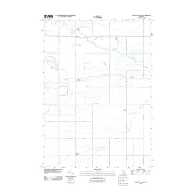
2011 Map of Pleasant Valley
USGS Topo · Published 2011About this map
The Chippewa River meanders across the northern half of this landscape, anchoring a region defined by its history of extraction and rural settlement. The presence of the Mount Pleasant Oil Field and the Porter Oil Field points to the area's industrial legacy, where energy resources have long shaped the local economy and land use patterns. Small residential hubs like Oil City and Pleasant Valley are situated among a dense network of country roads, including W Bay City Rd and S Coleman Rd.
Find a feature on this map
53 named features on this map. Tap any name to fly to it.
Don’t see what you’re looking for? This feature index may not catch every label — zoom into the map to look around manually.
Map Details
Editions of this 2011 Pleasant Valley Map
This is the sole edition of this map. No revisions or reprints were ever made.
Other maps of this area

1930 · Shepherd
USGS Topo · 1:48,000

1934 · Sanford
USGS Topo · 1:62,500

1934 · Merrill
USGS Topo · 1:62,500

1935 · Alma
USGS Topo · 1:62,500

1936 · Shepherd
USGS Topo · 1:62,500

1936 · Sanford
USGS Topo · 1:62,500

1937 · Merrill
USGS Topo · 1:62,500

1938 · Alma
USGS Topo · 1:62,500

1954 · Midland
USGS Topo · 1:250,000

1958 · Midland
USGS Topo · 1:250,000