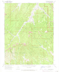
1966 Map of Podunk Creek
USGS Topo · Published 1968About this map
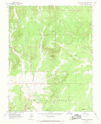
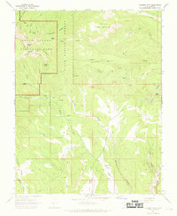
The Paunsaugunt Plateau dominates this high-altitude landscape where the headwaters of Kanab Creek and Podunk Creek carve deep into the geological record. This mid-1960s survey documents a critical junction of public lands, showing the boundary where the Dixie National Forest meets the eastern edge of Bryce Canyon National Park. The topography is defined by the massive escarpments of the Pink Cliffs and Sunset Cliffs, which create dramatic vertical relief across the quadrangle. Human presence is sparse and focused on land management and transit, evidenced by the Podunk Guard Station and the remote Gaging Station along the East Fork. High mountain passes like Yovimpa Pass and Crawford Pass connect the various drainage systems, while a network of jeep trails and a Pipeline through Meadow Canyon trace the early modernization of this remote backcountry.
Find a feature on this map
44 named features on this map. Tap any name to fly to it.
Don’t see what you’re looking for? This feature index may not catch every label — zoom into the map to look around manually.
Map Details
Editions of this 1966 Podunk Creek Map
3 editions found
Other maps of this area

1886 · Kanab
USGS Topo · 1:250,000

1953 · Cedar City
USGS Topo · 1:250,000

1958 · Cedar City
USGS Topo · 1:250,000

1962 · Cedar City
USGS Topo · 1:250,000

1966 · Alton
USGS Topo · 1:24,000

1966 · Bald Knoll
USGS Topo · 1:24,000
1966 · Deer Spring Point
USGS Topo · 1:24,000

1966 · George Mtn
USGS Topo · 1:24,000
1966 · Skutumpah Creek
USGS Topo · 1:24,000
1966 · Rainbow Point
USGS Topo · 1:24,000