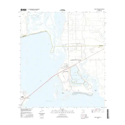
2016 Map of Point Comfort
USGS Topo · Published 2016About this map
The industrial and coastal landscape of Point Comfort dominates this survey, where the Lavaca River meets the expansive Lavaca Bay. The map details a complex water management system essential to the local industry, featuring the Coxs Cr Reservoir, Raw Water Lake, Clear Lake, and Storm Lake. The grid of Point Comfort reveals a concentrated residential area with streets such as Alamo St and Fannin St situated just north of the significant industrial facilities.
Find a feature on this map
38 named features on this map. Tap any name to fly to it.
Don’t see what you’re looking for? This feature index may not catch every label — zoom into the map to look around manually.
Map Details
Editions of this 2016 Point Comfort Map
This is the sole edition of this map. No revisions or reprints were ever made.
Other maps of this area
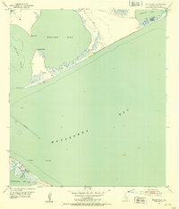
1951 · Keller Bay
USGS Topo · 1:24,000
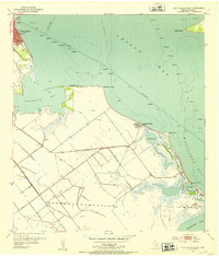
1952 · Port Lavaca East
USGS Topo · 1:24,000
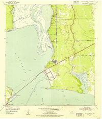
1952 · Point Comfort
USGS Topo · 1:24,000
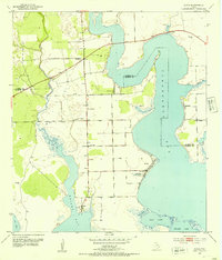
1952 · Olivia
USGS Topo · 1:24,000
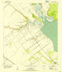
1952 · Kamey
USGS Topo · 1:24,000
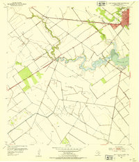
1952 · Port Lavaca West
USGS Topo · 1:24,000
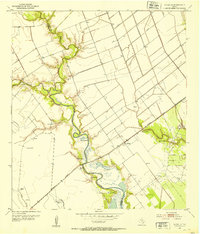
1952 · La Salle
USGS Topo · 1:24,000
1952 · La Ward
USGS Topo · 1:24,000
1952 · Lolita
USGS Topo · 1:24,000

1953 · Beeville
USGS Topo · 1:250,000