1995 Map of Point Comfort
USGS Topo · Published 1995About this map
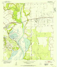
Point Comfort stands as a heavily industrialized coastal hub along the shores of Lavaca Bay in the mid-1990s. The landscape is defined by massive infrastructure, including an extensive Chemical Plant, an Ore Processing Plant, and a Power Plant that dominate the eastern shoreline. These facilities are supported by a complex network of pipelines, aqueducts, and large tailings ponds, illustrating the intense mid-century industrial development of the Texas Gulf Coast.
Find a feature on this map
38 named features on this map. Tap any name to fly to it.
Don’t see what you’re looking for? This feature index may not catch every label — zoom into the map to look around manually.
Map Details
Editions of this 1995 Point Comfort Map
This is the sole edition of this map. No revisions or reprints were ever made.
Other maps of this area
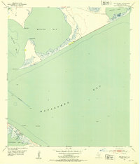
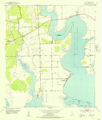
1951 · Keller Bay
USGS Topo · 1:24,000
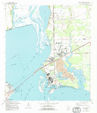
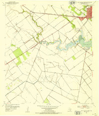
1952 · Port Lavaca East
USGS Topo · 1:24,000
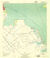
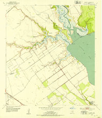
1952 · Point Comfort
USGS Topo · 1:24,000
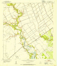
1952 · Olivia
USGS Topo · 1:24,000
1952 · Kamey
USGS Topo · 1:24,000
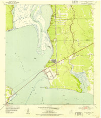
1952 · Port Lavaca West
USGS Topo · 1:24,000
1952 · La Salle
USGS Topo · 1:24,000
1952 · La Ward
USGS Topo · 1:24,000
1952 · Lolita
USGS Topo · 1:24,000

1953 · Beeville
USGS Topo · 1:250,000