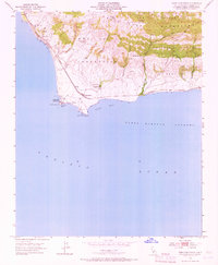
1953 Map of Point Conception
USGS Topo · Published 1968About this map
Point Conception anchors this coastal survey, where the California shoreline turns sharply eastward. Along this maritime crossroads, the Coast Guard Reservation and its Lighthouse stand watch over Cojo Bay and the Santa Barbara Channel. The infrastructure of the mid-century coast is clearly visible, from the Southern Pacific railroad tracks following the bluffs to the Seawalls protecting the corridor.
Find a feature on this map
35 named features on this map. Tap any name to fly to it.
Don’t see what you’re looking for? This feature index may not catch every label — zoom into the map to look around manually.
Map Details
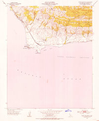
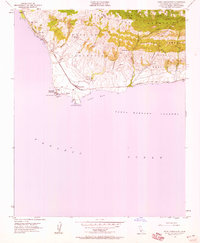
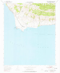
Editions of this 1953 Point Conception Map
4 editions found
Other maps of this area

1905 · Guadalupe
USGS Topo · 1:125,000

1905 · Lompoc
USGS Topo · 1:125,000

1942 · Point Arguello
USGS Topo · 1:62,500

1942 · Guadalupe
USGS Topo · 1:125,000

1942 · Lompoc
USGS Topo · 1:125,000

1942 · Lompoc
USGS Topo · 1:62,500

1942 · Pt. Conception
USGS Topo · 1:62,500

1943 · Lompoc
USGS Topo · 1:125,000
1947 · Santa Rosa Hills
USGS Topo · 1:24,000
1947 · El Tranquillon
USGS Topo · 1:24,000