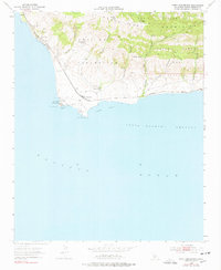
1953 Map of Point Conception
USGS Topo · Published 1978About this map
Punta De La Concepcion serves as the focal point of this coastal survey, where the California shoreline turns sharply eastward. The landscape is defined by the Southern Pacific railroad line, which hugs the coast from Jalama through the small settlement of Concepcion toward Gato. A significant Coast Guard Reservation and its prominent Lighthouse anchor the point, overlooking Indian Head Rock and the entrance to the Santa Barbara Channel. Inland, the terrain rises into the San Rafael Mountains, marked by deep canyons like Cañada del Cojo and private landholdings such as Cojo Ranch. The inclusion of a Damsite and several water sources like Las Animas Spring suggests the critical importance of water management in this sparsely populated ranching and maritime corridor during the mid-twentieth century.
Find a feature on this map
28 named features on this map. Tap any name to fly to it.
Don’t see what you’re looking for? This feature index may not catch every label — zoom into the map to look around manually.
Map Details
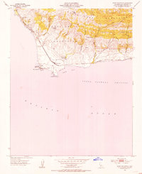
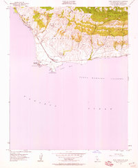
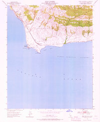
Editions of this 1953 Point Conception Map
4 editions found
Other maps of this area

1905 · Guadalupe
USGS Topo · 1:125,000

1905 · Lompoc
USGS Topo · 1:125,000

1942 · Point Arguello
USGS Topo · 1:62,500

1942 · Guadalupe
USGS Topo · 1:125,000

1942 · Lompoc
USGS Topo · 1:125,000

1942 · Lompoc
USGS Topo · 1:62,500

1942 · Pt. Conception
USGS Topo · 1:62,500

1943 · Lompoc
USGS Topo · 1:125,000
1947 · Santa Rosa Hills
USGS Topo · 1:24,000
1947 · El Tranquillon
USGS Topo · 1:24,000