
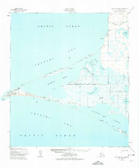
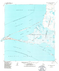
1952 Map of Point Hope B-3
USGS Topo · Published 1959About this map
Point Hope occupies the tip of a prominent triangular spit extending into the Chukchi Sea, where the coastal geography is defined by a complex system of lagoons and inlets. This 1952 survey, published by the U.S. Geological Survey and based on Army Map Service aerial photography, documents the settlement during a period when evidence of earlier habitation remained prominent. Archaeological and historical sites are noted near the village, including Ipiutak (Ruins) and Jabbertown (Ruins), alongside a Mission and a Cem.
Find a feature on this map
23 named features on this map. Tap any name to fly to it.
Don’t see what you’re looking for? This feature index may not catch every label — zoom into the map to look around manually.
Map Details
Editions of this 1952 Point Hope B-3 Map
3 editions found
Other maps of this area

1952 · Point Hope
USGS Topo · 1:250,000

1952 · Point Hope A-2
USGS Topo · 1:63,360
1952 · Point Hope C-3
USGS Topo · 1:63,360

1955 · Point Hope
USGS Topo · 1:250,000

1955 · Point Hope C-2
USGS Topo · 1:63,360

1955 · Point Hope B-2
USGS Topo · 1:63,360

1965 · Point Hope
USGS Topo · 1:250,000
2014 · Point Hope B-3 SE
USGS Topo · 1:25,000
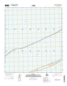
2014 · Point Hope B-3 NW
USGS Topo · 1:25,000
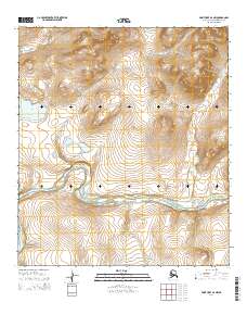
2014 · Point Hope B-2 NW
USGS Topo · 1:25,000