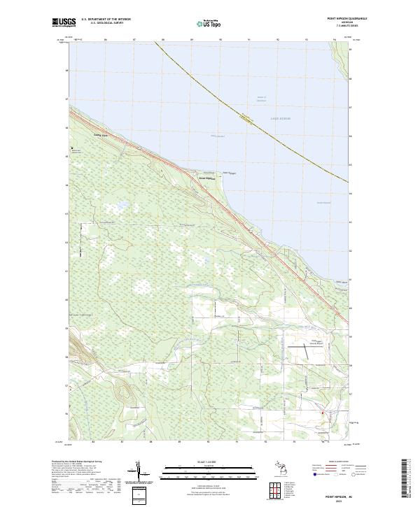
2023 Map of Point Nipigon
USGS Topo · Published 2023About this map
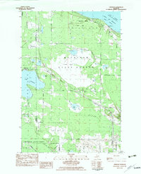
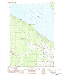
Sailors and Indians Cem sits on the western edge of this coastal landscape, reflecting the long history of the Straits of Mackinac region. The shoreline of Lake Huron is marked by the prominent Point Nipigon and Stony Point, which define the northern boundary of the South Channel. The interior is defined by the drainage of the Little Black River and its West Branch, winding through a network of secondary roads such as Old Mackinaw Rd and Hebron Mail Route Rd.
Find a feature on this map
49 named features on this map. Tap any name to fly to it.
Don’t see what you’re looking for? This feature index may not catch every label — zoom into the map to look around manually.
Map Details
Editions of this 2023 Point Nipigon Map
This is the sole edition of this map. No revisions or reprints were ever made.
Historical Maps of Inverness Township Through Time
25 maps found
1957 Mullett Lake
Cheboygan County, MI
1982 Aloha
Cheboygan County, MI
1982 Cordwood Point
Cheboygan County, MI
1982 Freedom
Cheboygan County, MI
1982 Indianville
Cheboygan County, MI
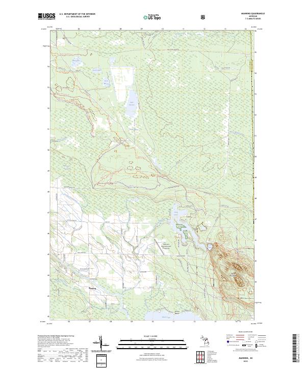
1982 Manning
Cheboygan County, MI
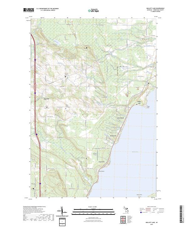
1982 Mullett Lake
Cheboygan County, MI
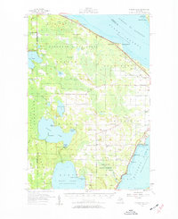
1982 Point Nipigon
Cheboygan County, MI
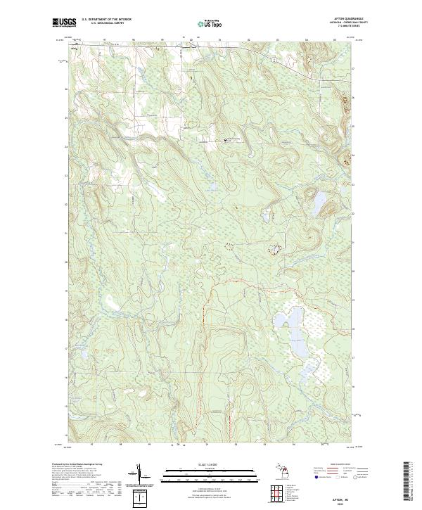
1986 Afton
Cheboygan County, MI
1986 Burt Lake
Cheboygan County, MI
1986 Hangore Heights
Cheboygan County, MI
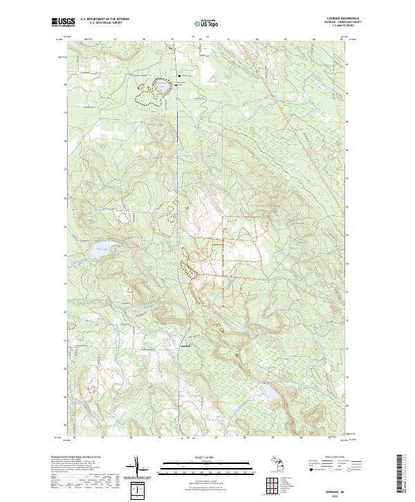
1986 Legrand
Cheboygan County, MI
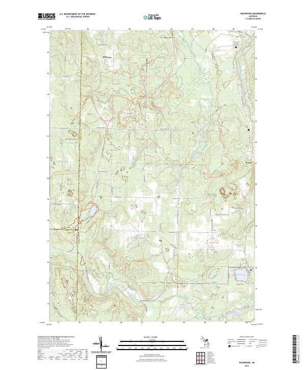
1986 Wildwood
Cheboygan County, MI
2023 Afton
Cheboygan County, MI
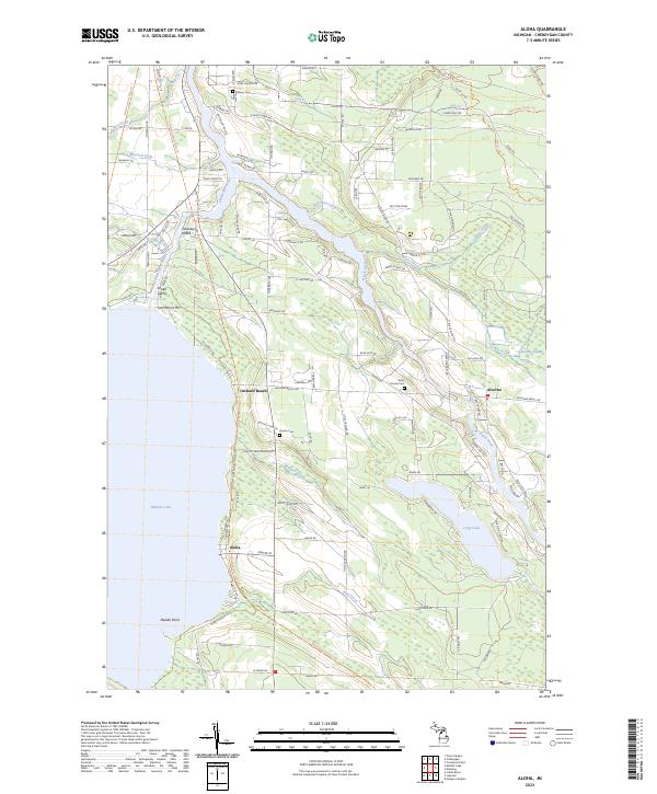
2023 Aloha
Cheboygan County, MI
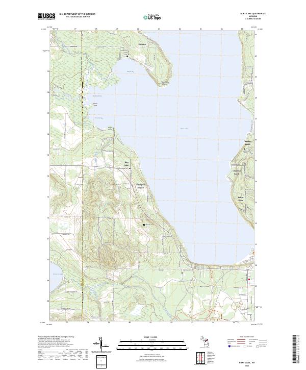
2023 Burt Lake
Cheboygan County, MI
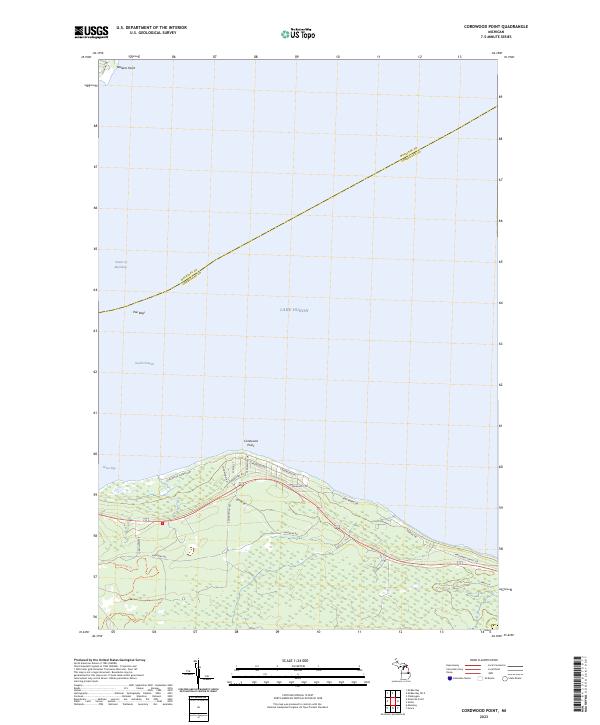
2023 Cordwood Point
Cheboygan County, MI
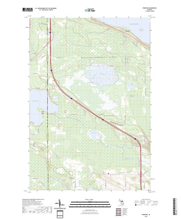
2023 Freedom
Cheboygan County, MI

2023 Hangore Heights
Cheboygan County, MI
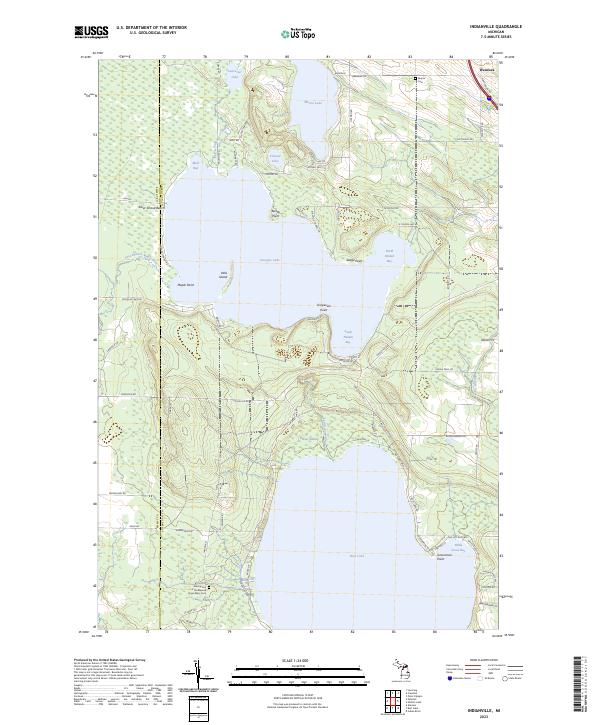
2023 Indianville
Cheboygan County, MI
2023 Legrand
Cheboygan County, MI
2023 Manning
Cheboygan County, MI
2023 Mullett Lake
Cheboygan County, MI
2023 Point Nipigon
Cheboygan County, MI
2023 Wildwood
Cheboygan County, MI
Featured Locations
- Mackinaw Township, MI
- Bois Blanc Township, MI
- Grand View, Beaugrand Township
- Point Nipigon, Beaugrand Township
- Pries Landing, Beaugrand Township