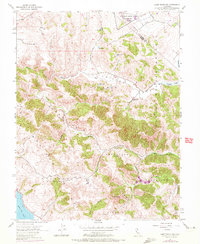
1954 Map of Point Reyes NE
USGS Topo · Published 1972About this map
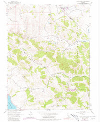
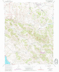
Ancient land grants and complex drainage patterns define this corner of Marin County as it appeared in the mid-20th century. The landscape is structured by several distinct ranching and land divisions, including Nicasio (Halleck), Soulajule (Brackett), and Soulajule (Gormley), reflecting the region’s deep agricultural roots and family names like Frink, Reynolds, and Vasquez. To the north, the Two Rock Ranch Station Military Res stands on the Sonoma County line, contrasting with the natural contours of the San Antonio Valley.
Find a feature on this map
21 named features on this map. Tap any name to fly to it.
Don’t see what you’re looking for? This feature index may not catch every label — zoom into the map to look around manually.
Map Details
Editions of this 1954 Point Reyes NE Map
6 editions found
Other maps of this area

1914 · Petaluma
USGS Topo · 1:62,500

1916 · Santa Rosa
USGS Topo · 1:62,500

1916 · Point Reyes
USGS Topo · 1:48,000

1918 · Point Reyes
USGS Topo · 1:62,500

1935 · Sebastopol
USGS Topo · 1:48,000

1942 · Sebastopol
USGS Topo · 1:62,500

1942 · Petaluma
USGS Topo · 1:62,500

1944 · Santa Rosa
USGS Topo · 1:62,500

1947 · Santa Rosa
USGS Topo · 1:250,000

1949 · Santa Rosa
USGS Topo · 1:250,000