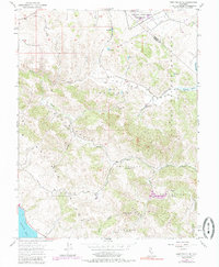
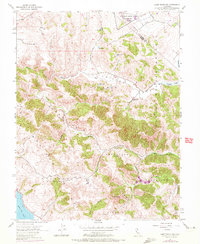
1954 Map of Point Reyes NE
USGS Topo · Published 1985About this map
The Two Rock Ranch Station Military Res sits near the northern boundary of this coastal California landscape, where the Sonoma and Marin county lines meet. The terrain is defined by a series of ridges and ranch lands, often identified by historical family names such as Soulajule (Vasquez), Soulajule (Brackett), and Soulajule (Gormley). These designations, along with the Nicasio (Frink and Reynolds) Ridge, suggest a pattern of early land divisions and agricultural tenancies that shaped the drainage basins of Chileno Creek and Walker Creek.
Find a feature on this map
25 named features on this map. Tap any name to fly to it.
Don’t see what you’re looking for? This feature index may not catch every label — zoom into the map to look around manually.
Map Details
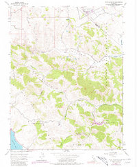
Editions of this 1954 Point Reyes NE Map
6 editions found
Other maps of this area

1914 · Petaluma
USGS Topo · 1:62,500

1916 · Santa Rosa
USGS Topo · 1:62,500

1916 · Point Reyes
USGS Topo · 1:48,000

1918 · Point Reyes
USGS Topo · 1:62,500

1935 · Sebastopol
USGS Topo · 1:48,000

1942 · Sebastopol
USGS Topo · 1:62,500

1942 · Petaluma
USGS Topo · 1:62,500

1944 · Santa Rosa
USGS Topo · 1:62,500

1947 · Santa Rosa
USGS Topo · 1:250,000

1949 · Santa Rosa
USGS Topo · 1:250,000