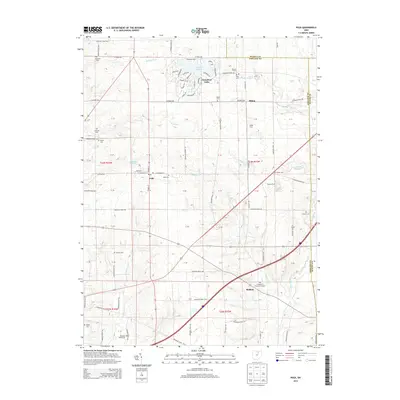
2013 Map of Polk
USGS Topo · Published 2013About this map
Polk and the surrounding Jackson Township countryside are defined by a network of drainage systems including Muddy Fork and Redhaw Cr. The landscape is dominated by family farmsteads and rural cemeteries, reflecting generations of settlement along the intersection of the Ashland, Medina, and Wayne county lines. To the north, the residential developments surrounding Cinnamon Lake provide a modern contrast to the older crossroads communities of Albion and Redhaw. Genealogists will find an exceptional density of burial sites here, ranging from the central Polk Cem to outlying locations like Hopewell Cem, Chilcote Cem, and the Evangelical Church Graveyard. Named agricultural properties such as France Farms and Spidel Farm are preserved alongside natural landmarks like Starkey Pond, illustrating the persistent agricultural character of this corner of north-central Ohio.
Find a feature on this map
49 named features on this map. Tap any name to fly to it.
Don’t see what you’re looking for? This feature index may not catch every label — zoom into the map to look around manually.
Map Details
Editions of this 2013 Polk Map
This is the sole edition of this map. No revisions or reprints were ever made.
Other maps of this area

1904 · Wellington
USGS Topo · 1:62,500

1906 · Wellington
USGS Topo · 1:62,500

1906 · West Salem
USGS Topo · 1:62,500

1908 · Ashland
USGS Topo · 1:62,500

1908 · West Salem
USGS Topo · 1:62,500

1908 · New London
USGS Topo · 1:62,500

1950 · Marion
USGS Topo · 1:250,000

1956 · Toledo
USGS Topo · 1:250,000

1960 · Nova
USGS Topo · 1:24,000

1961 · Toledo
USGS Topo · 1:250,000