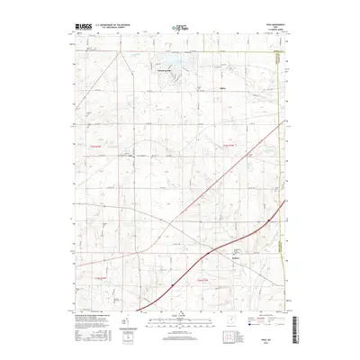
2016 Map of Polk
USGS Topo · Published 2016About this map
Polk stands as a central crossroads in Ashland County, where the grid of rural township roads meets the more organic development around the Cinnamon Lake reservoir. The township boundaries of Medina Co and Ashland Co intersect here, framing a landscape defined by small settlements like Albion and Redhaw. The terrain is drained by numerous winding waterways, including the Muddy Fork, Katotawa Cr, and Redhaw Cr, which dictate the placement of early homesteads and community centers.
Find a feature on this map
56 named features on this map. Tap any name to fly to it.
Don’t see what you’re looking for? This feature index may not catch every label — zoom into the map to look around manually.
Map Details
Editions of this 2016 Polk Map
This is the sole edition of this map. No revisions or reprints were ever made.
Other maps of this area

1904 · Wellington
USGS Topo · 1:62,500

1906 · Wellington
USGS Topo · 1:62,500

1906 · West Salem
USGS Topo · 1:62,500

1908 · Ashland
USGS Topo · 1:62,500

1908 · West Salem
USGS Topo · 1:62,500

1908 · New London
USGS Topo · 1:62,500

1950 · Marion
USGS Topo · 1:250,000

1956 · Toledo
USGS Topo · 1:250,000

1960 · Nova
USGS Topo · 1:24,000

1961 · Toledo
USGS Topo · 1:250,000