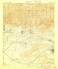
1904 Map of Pomona
USGS Topo · Published 1908About this map
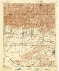
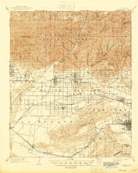
The San Gabriel National Forest dominates the northern landscape of this map, its steep canyons like Roberts Canyon and Graveyard Canyon feeding into the massive San Gabriel Wash. This early century survey illustrates the expansion of the citrus belt and agricultural valley before the mid-century suburban boom. Water infrastructure, critical to the region's development, is clearly marked through the Azusa Ditch and Covina Canal, which diverted mountain runoff to the growing settlements below.
Find a feature on this map
85 named features on this map. Tap any name to fly to it.
Don’t see what you’re looking for? This feature index may not catch every label — zoom into the map to look around manually.
Map Details
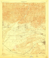
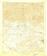
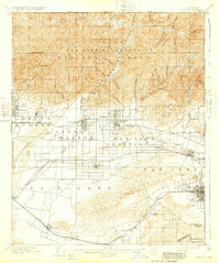
Editions of this 1904 Pomona Map
7 editions found

Other maps of this area

1894 · Los Angeles
USGS Topo · 1:62,500

1894 · Pomona
USGS Topo · 1:62,500

1896 · Pasadena
USGS Topo · 1:62,500

1896 · Anaheim
USGS Topo · 1:62,500

1896 · Downey
USGS Topo · 1:62,500

1897 · Pomona
USGS Topo · 1:62,500

1897 · Cucamonga
USGS Topo · 1:62,500

1898 · Pomona
USGS Topo · 1:62,500

1898 · Anaheim
USGS Topo · 1:62,500

1899 · Downey
USGS Topo · 1:62,500