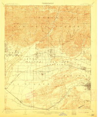
1904 Map of Pomona
USGS Topo · Published 1912About this map
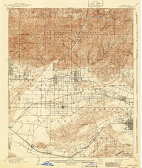
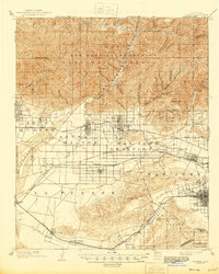
The citrus-growing valley and rugged northern peaks of the Angeles National Forest are captured here during a period of rapid rail expansion. Before the modern suburban sprawl, the landscape was defined by the Covina Canal and a complex irrigation Ditch system essential for the surrounding orchards. The regional transportation network is anchored by the Atchison Topeka and Santa Fe and the Southern Pacific railroads, which facilitated the growth of established citrus hubs like Azusa and Glendora. Smaller, early settlements such as Lordsburg, Alosta, and Spadra appear as distinct townsites before later consolidation. To the north, the steep canyons of the San Gabriel River dominate the terrain, including the isolated Club House near the West Fork San Gabriel River. This survey reveals the transition from a ranching economy toward the specialized agriculture and rail-linked development of the early twentieth century.
Find a feature on this map
82 named features on this map. Tap any name to fly to it.
Don’t see what you’re looking for? This feature index may not catch every label — zoom into the map to look around manually.
Map Details
Editions of this 1904 Pomona Map
7 editions found

Other maps of this area

1894 · Los Angeles
USGS Topo · 1:62,500

1894 · Pomona
USGS Topo · 1:62,500

1896 · Pasadena
USGS Topo · 1:62,500

1896 · Anaheim
USGS Topo · 1:62,500

1896 · Downey
USGS Topo · 1:62,500

1897 · Pomona
USGS Topo · 1:62,500

1897 · Cucamonga
USGS Topo · 1:62,500

1898 · Pomona
USGS Topo · 1:62,500

1898 · Anaheim
USGS Topo · 1:62,500

1899 · Downey
USGS Topo · 1:62,500