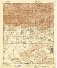
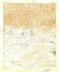
1904 Map of Pomona
USGS Topo · Published 1941About this map
The San Gabriel Mountains loom over a burgeoning agricultural and transit landscape at the turn of the century. Settlements like Azusa, Glendora, and Covina are firmly established along the base of the range, supported by vital water infrastructure like the Azusa Ditch and Covina Canal. The transit network is particularly dense for the era, featuring the Atchison Topeka and Santa Fe and the Southern Pacific railroads, which helped facilitate the region's citrus and ranching economy.
Find a feature on this map
71 named features on this map. Tap any name to fly to it.
Don’t see what you’re looking for? This feature index may not catch every label — zoom into the map to look around manually.
Map Details
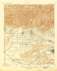
Editions of this 1904 Pomona Map
7 editions found

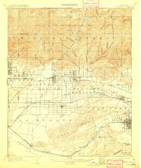
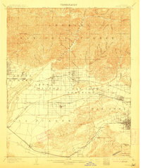
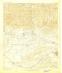
Other maps of this area

1894 · Los Angeles
USGS Topo · 1:62,500

1894 · Pomona
USGS Topo · 1:62,500

1896 · Pasadena
USGS Topo · 1:62,500

1896 · Anaheim
USGS Topo · 1:62,500

1896 · Downey
USGS Topo · 1:62,500

1897 · Pomona
USGS Topo · 1:62,500

1897 · Cucamonga
USGS Topo · 1:62,500

1898 · Pomona
USGS Topo · 1:62,500

1898 · Anaheim
USGS Topo · 1:62,500

1899 · Downey
USGS Topo · 1:62,500