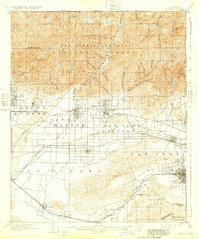
1904 Map of Pomona
USGS Topo · Published 1932About this map
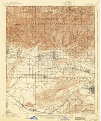
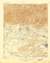
The San Gabriel Mountains dominate the northern landscape of this late-nineteenth-century survey, casting a long shadow over the growing citrus and railroad towns of the valley below. This map captures a pivotal moment of expansion as the Atchison Topeka and Santa Fe Railroad and the Southern Pacific Railroad compete for dominance across the San Gabriel Valley. The grid systems of Azusa, Covina, and Glendora are firmly established, yet the transition from agriculture to suburban settlement is evident in the inclusion of places like Lordsburg and the short-lived Alosta. Irrigation infrastructure, critical to the region's development, is documented through features like the Covina Canal and various ditches. Further south, the San Jose Hills separate the valley from the ranch lands of La Puente, while the eastern edge follows the Boundary Line between Los Angeles and San Bernardino counties near Pomona.
Find a feature on this map
79 named features on this map. Tap any name to fly to it.
Don’t see what you’re looking for? This feature index may not catch every label — zoom into the map to look around manually.
Map Details
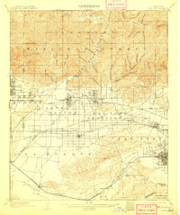
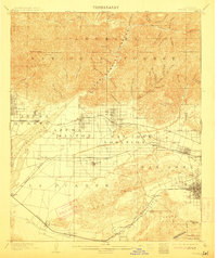
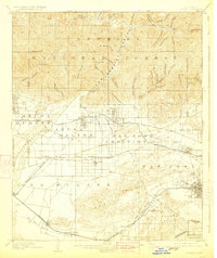
Editions of this 1904 Pomona Map
7 editions found

Other maps of this area

1894 · Los Angeles
USGS Topo · 1:62,500

1894 · Pomona
USGS Topo · 1:62,500

1896 · Pasadena
USGS Topo · 1:62,500

1896 · Anaheim
USGS Topo · 1:62,500

1896 · Downey
USGS Topo · 1:62,500

1897 · Pomona
USGS Topo · 1:62,500

1897 · Cucamonga
USGS Topo · 1:62,500

1898 · Pomona
USGS Topo · 1:62,500

1898 · Anaheim
USGS Topo · 1:62,500

1899 · Downey
USGS Topo · 1:62,500